Chinese engineers make sci-fi drone mapping reality
Share - WeChat


A scene from the science fiction film Prometheus, where explorers deploy a mini-drone that laser-scans caves to generate 3D models instantly, has turned into reality, thanks to the efforts of Chinese engineers.
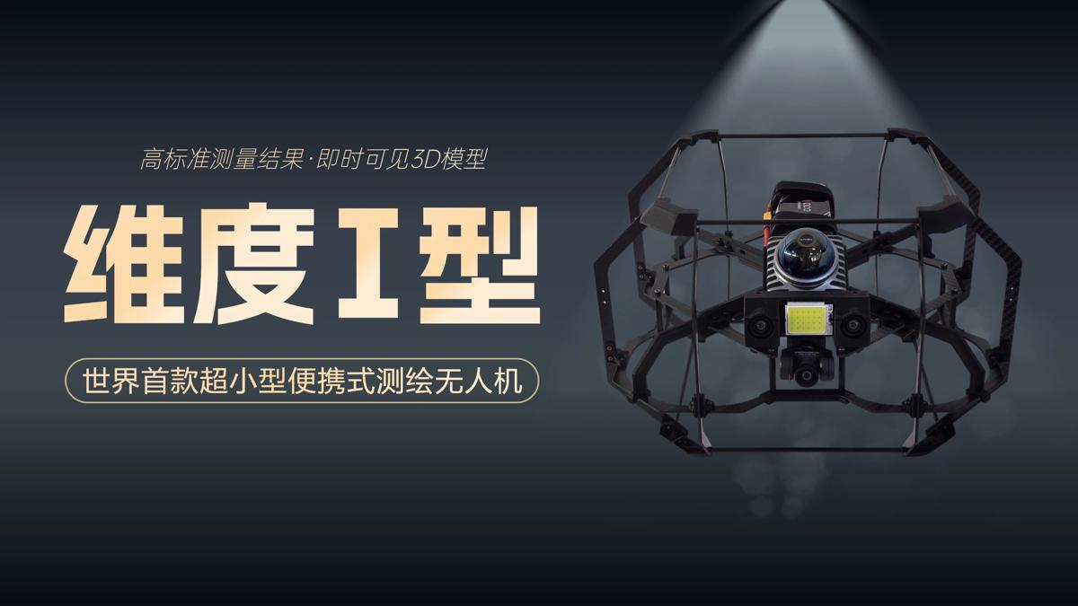
On Tuesday, the Spatiotemporal AI Perception Technology Innovation Center at the Tianfu Jiangxi Laboratory in Chengdu, Sichuan province, announced that it has launched Dimension 1, the world's first ultra-compact portable mapping drone. It is designed to perform asset digitization scanning tasks in indoor environments.
- China commemorates 80th anniversary of Taiwan's restoration
- Tianjin conference highlights mining partnerships
- 52 giant panda fossils found in Asia's longest cave
- Leung Chun-ying: The huge potential between HK and the rest of the GBA has yet to be tapped
- Aerial view of Jiuzhaigou scenic spot after snow
- Hungarian scholars experience Chinese cultural charm in Sichuan


